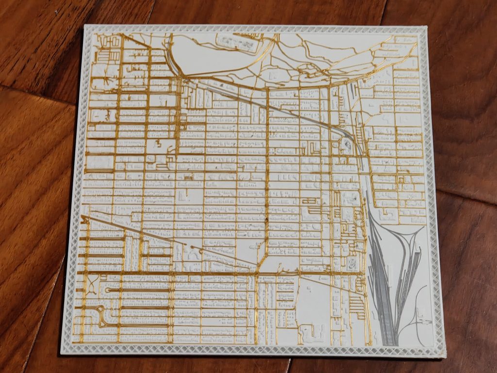
This design is a gift for my UPS driver, who has been supportive and caring during my part-time work as a delivery helper at UPS. I’ve created and printed it using our service area as a map design, as a token of my gratitude for their guideness and kindness.
The map includes majority of Queen Alexandra, Garneau & Strathcona area, which you can find and compare on Google Maps.
The production process is shown in the images.
1. Blender
Import Google Maps, remove excess line segments, close polysurfaces and solidify the line segments.
2. Rhino 7
Check the normal, edit and regenerate the stl file.
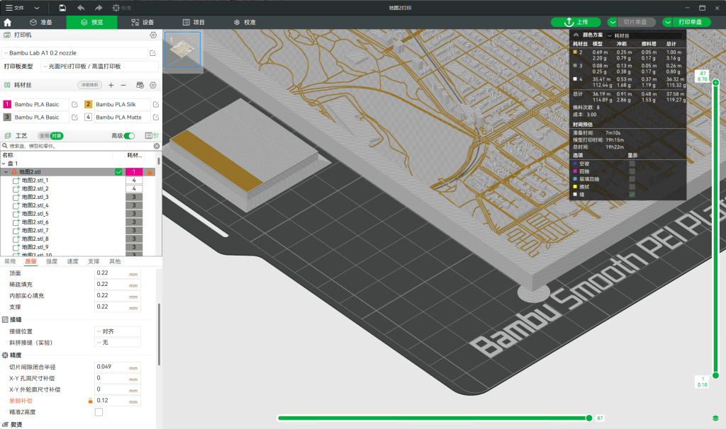
3. BambuStudio
Select colour, slice and print.
Previous slide
Next slide
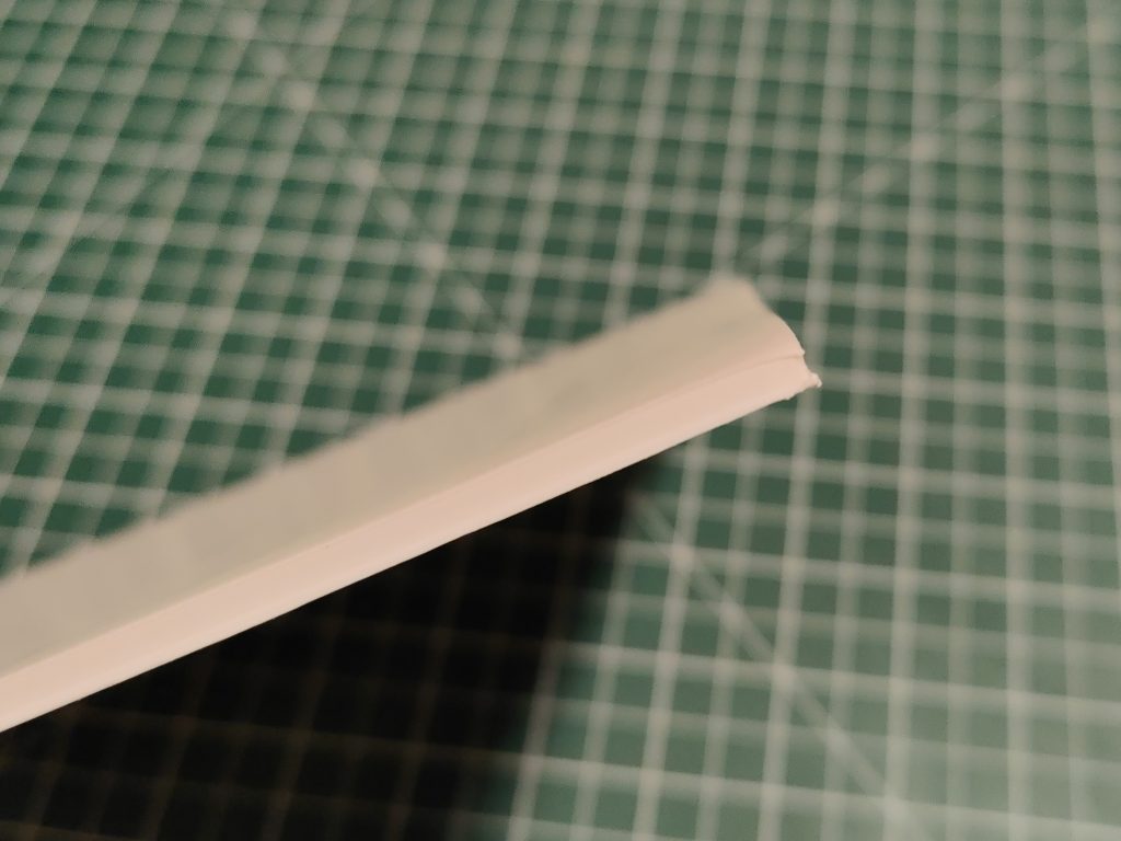
First failed attempt: warping problem.
Solution: Increase the scale, move the prime tower, move the map to the center of the heatbed, increase the temperature of the heatbed, add elephant-foot and small circle on the corners,